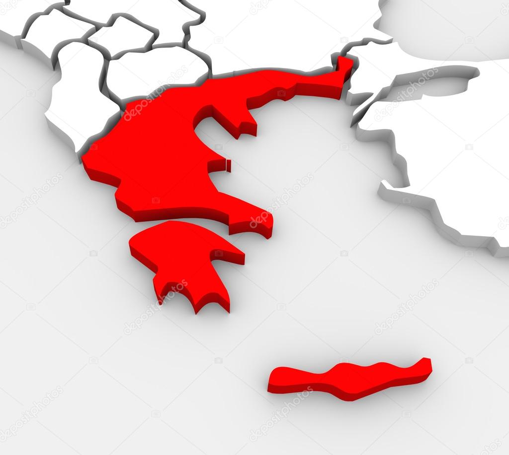
Греція анотація ілюстровані 3d Карта Південної Європи — стокове фото

Греція анотація ілюстровані 3d Карта Південної Європи — стокове зображення

An abstract 3D illustrated map of southern Europe with Greece targeted in red

 — Фото від iqoncept

Та сама серія:

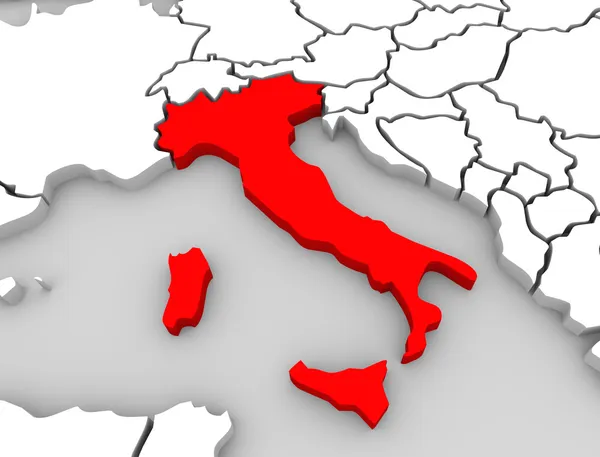
A 3d abstract map of the country or nation of Italy in central Europe surrounded by the Mediterranean Sea
Італія анотація 3d карта Центральної Європи нації — стокове фото
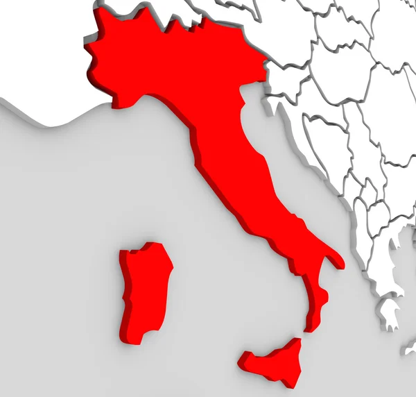
A 3d abstract map of the country or nation of Italy in central Europe surrounded by the Mediterranean Sea
Італія нації анотація 3d карта червоний країни Середземного моря — стокове фото
The country of Spain highlighted on an abstract 3D map of Europe
Європа анотація 3d карта Іспанії країни нації — стокове фото
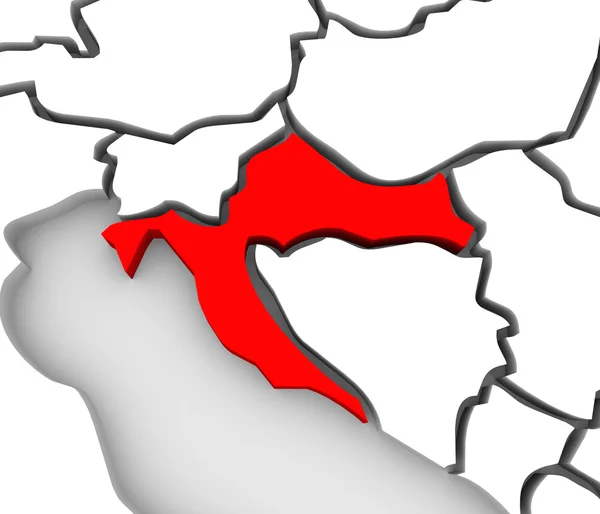
An abstract 3d map of Europe and the central or eastern region with Croatia highlighted in red and surrounding countries bosnia, herzegovina, serbia, slovenia and others
Хорватія країни анотація 3d карта Східної Європи — стокове фото
3d illustrated abstract map of Europe and the country of Croatia highlighted in red
Хорватія країни анотація 3d карта Європи континенту — стокове фото
An abstract 3d map of Europe the continent and several countries, with Portugal highlighted in red, surrounded by Spain, France, the United Kingdom, Germany and other European states
Португалія країни карту анотація 3d Європи «Атлас» — стокове фото
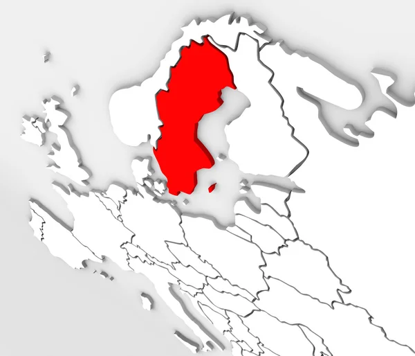
An abstract 3d illustrated map of the country of Sweden in the northern region of the continent of Europe surrounded by the nations Denmark, Finland and Norway
Швеція країни карта 3d ілюстровані Північна Європа континенту — стокове фото
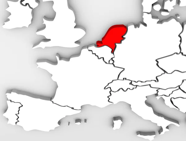
An abstract 3d map of Europe the continent and several countries, with the Netherlands highlighted in red, surrounded by Belgium France, the United Kingdom, Germany and other European states
Країні Нідерланди анотація 3d карта Європи континенту — стокове фото
A 3d illustrated abstract map of the European continent with the county of Portugal highlighted in red, alongside countries such as Spain, Germany and France
Європа карта Португалії країни 3d ілюстрація — стокове фото
Швеція як червоний 3d ілюстровані абстрактних карту в Європі
Швеція червоний тривимірну карту Європи — стокове фото
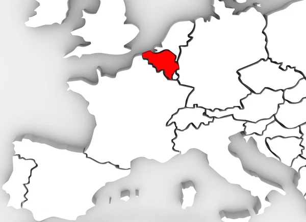
Belgium country in illustrated 3d abstract map showing neighboring countries such as France, Luxembourg, Germany, Spain, Austria and others
Бельгія країни 3d анотація Ілюстрована карта Європи континенту — стокове фото
An abstract 3d illustrated map of the country of Sweden in the northern region of the continent of Europe surrounded by the nations Denmark, Finland and Norway
3D абстрактних Швеції карту Європи північному континенті — стокове фото
A close up of Switzerland on an abstract 3d map of European countries
Швейцарія анотація 3d карта країни — стокове фото
Finland country on an abstract illustrated 3d map of northern Europe continent and Scandinavia region
Фінляндія анотація 3d карта країни Європи скандинавського регіону — стокове фото
The country or nation of Hungary on a 3d abstract map of the Europe continent surrounded by other European countries such as Ukraine, Croatia, Slovakia and Austria
Угорщина країна анотація 3d ілюстровану карту Європи континенту — стокове фото
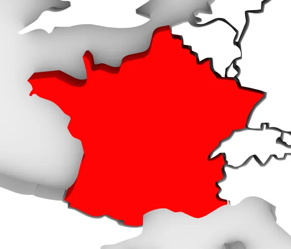
The country of France highlighted in red on an illustrated 3D map of Europe
Франції країни 3d анотація Ілюстрована карта Європи — стокове фото

Інформація щодо використання

Ви можете використовувати роялті-фрі фотографію "Греція анотація ілюстровані 3d Карта Південної Європи" в особистих та комерційних цілях згідно зі Стандартною або Розширеною ліцензією. Стандартна ліцензія охоплює різні варіанти використання, включаючи рекламу, UI-дизайн, упакування продуктів, і дозволяє друк до 500 000 копій. Розширена ліцензія передбачає всі варіанти використання, що й Стандартна, з правом на безлімітний друк, а також дозволяє використовувати завантажені стокові зображення для сувенірної продукції, перепродажу товарів і безкоштовного поширення.

Ви можете придбати це стокове фото й завантажити його у високій роздільності до 3918x3510. Завантажено: 13 трав. 2013 р.